Middle-housing map
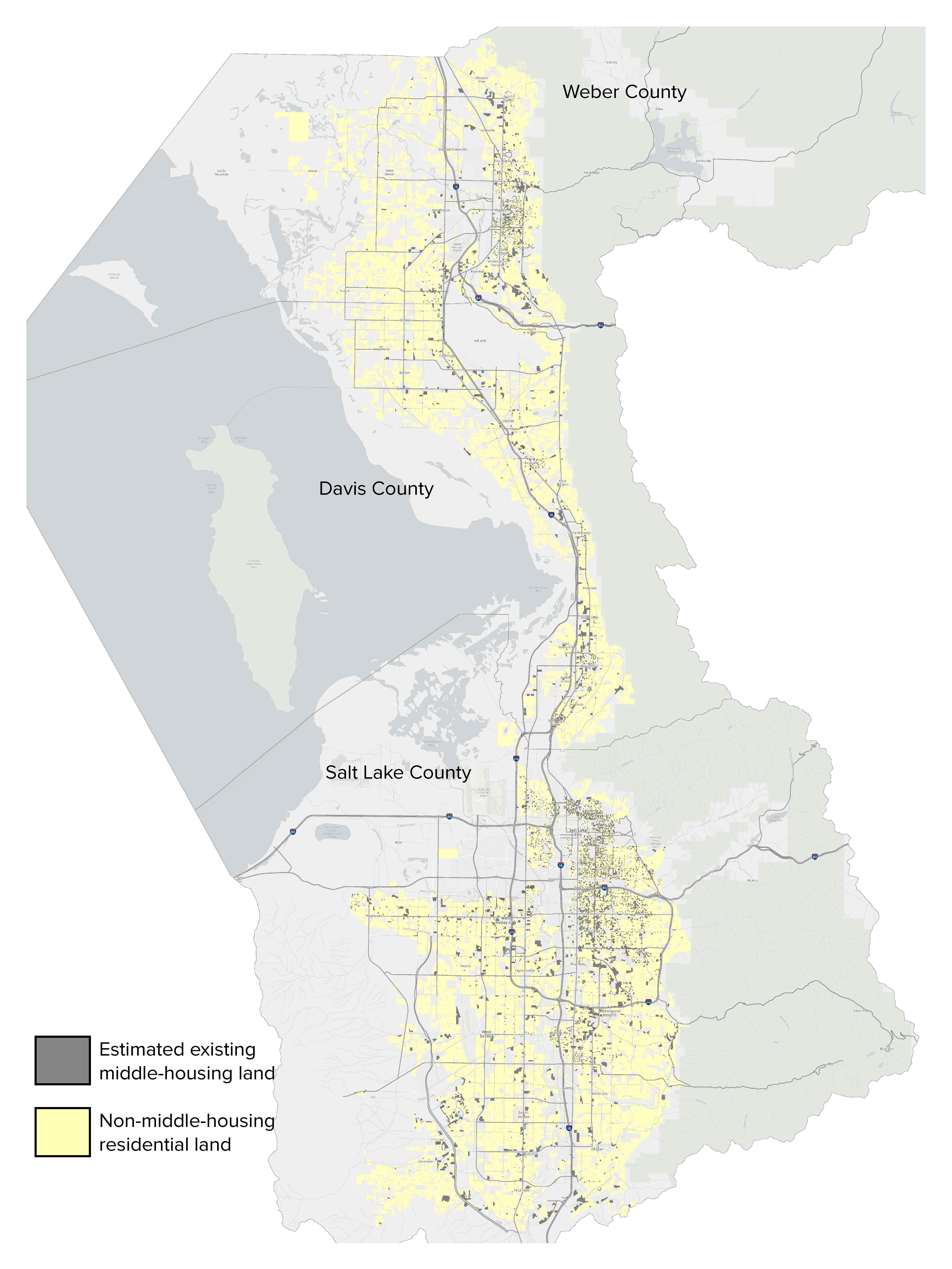
This map of the existing land for middle housing was created by Salt Lake County Planning and Transportation using Wasatch Front Regional Council data sourced from county assessor offices. It covers Weber, Davis and Salt Lake counties.
The map is high-resolution. You may double-click on the image to access zoomable map for details.
Thanks to Toby Lowry for his work on this map.